


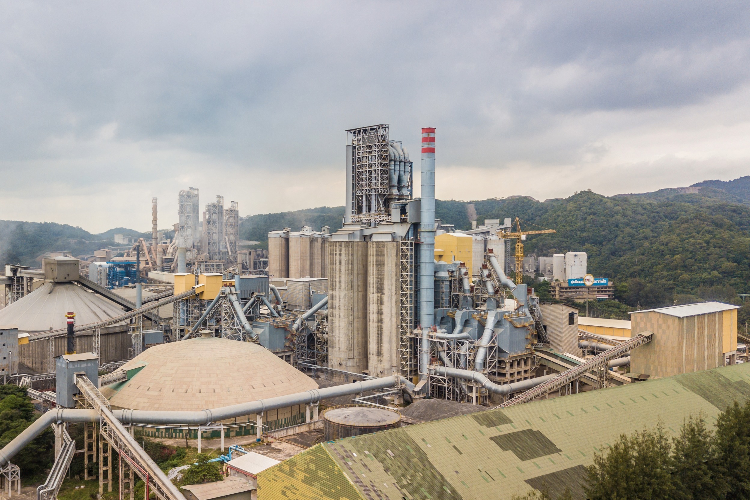
Most systems weren’t built for the complexity of industrial facilities. They’re static, siloed, and slow - leaving teams with gaps in safety, reliability, and efficiency.
Engineers waste time travelling for every review or inspection.
Disconnected drawings and systems create delays and costly errors.

Senior staff stuck on routine checks instead of innovating.
Each Clarity module transforms a critical workflow - replacing manual steps with digital precision, connecting teams instantly, and making work safer and faster by design.
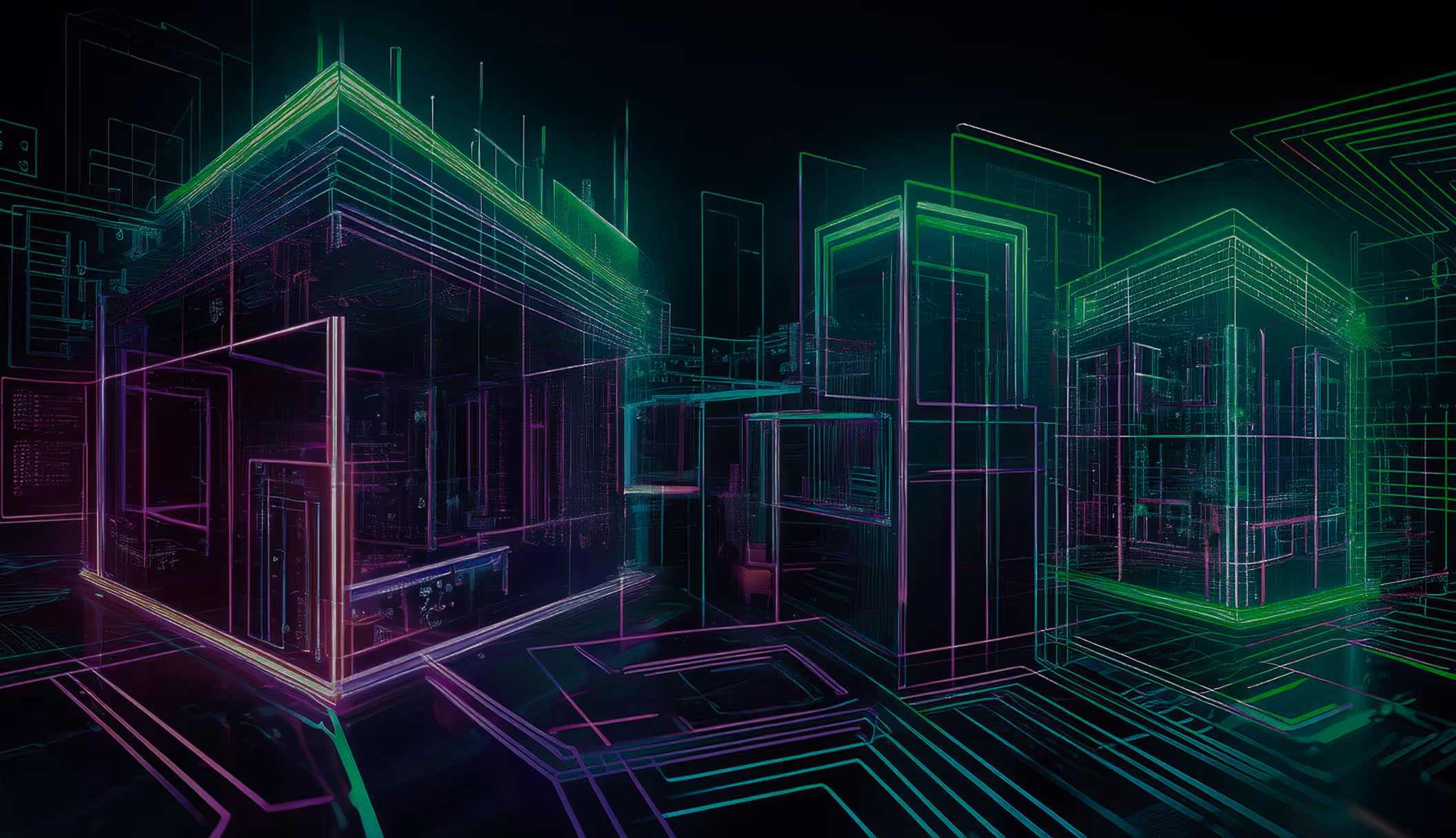
Simulate projects digitally before breaking ground - reducing rework and overruns.
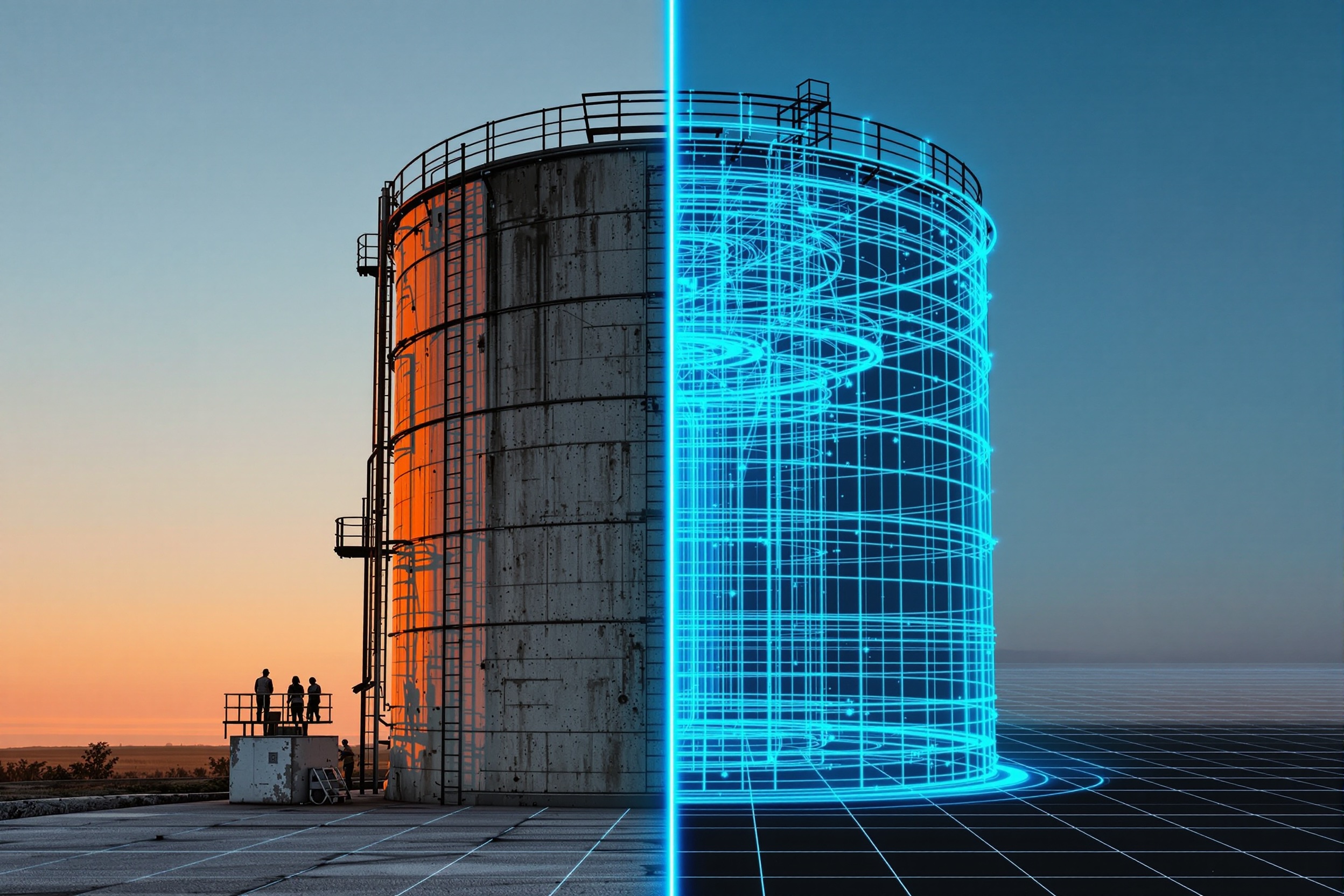
Track updates, sync data, and ensure compliance across every stage.
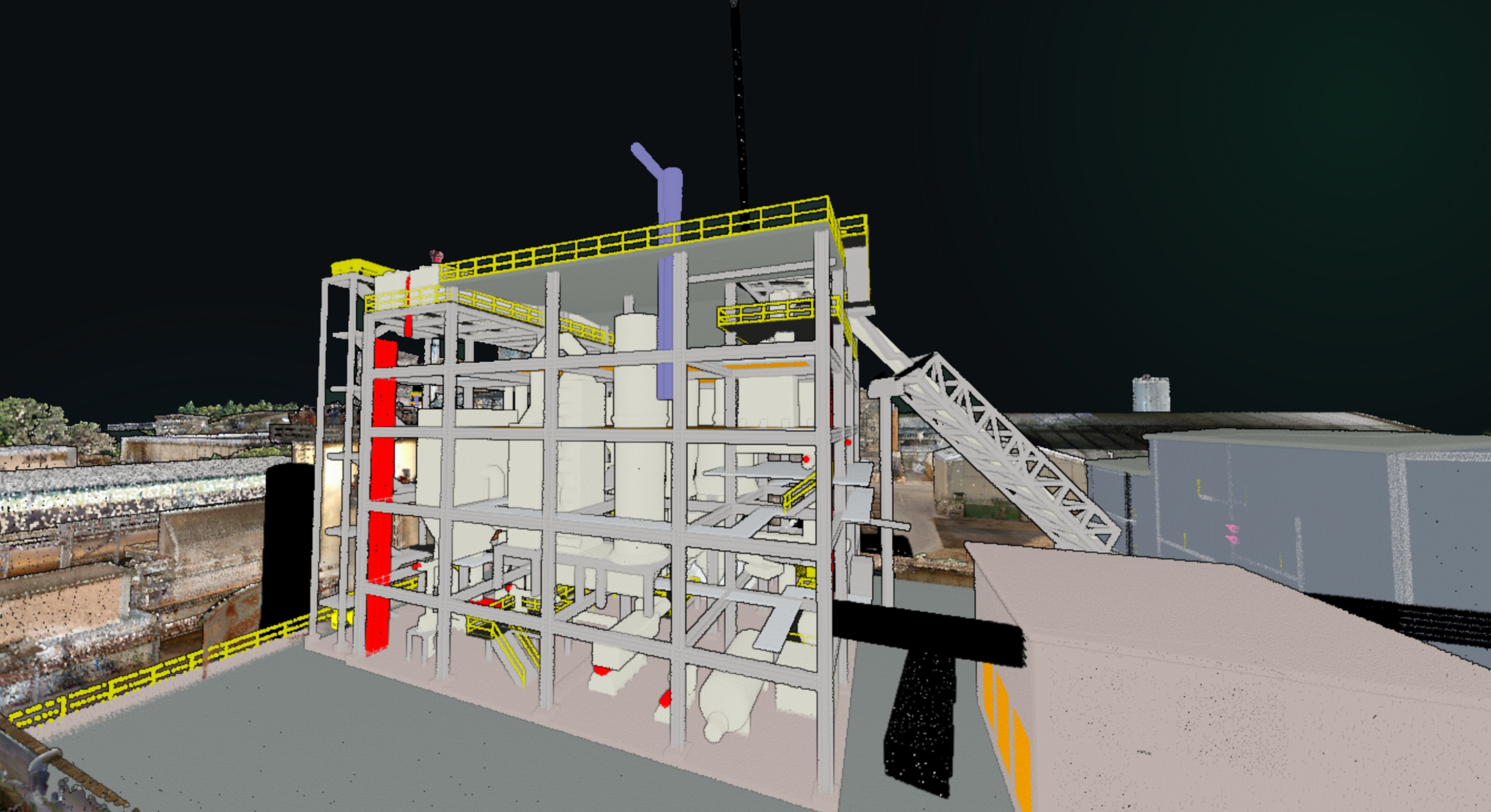
Seamless, accurate transfer from design through operations.

Every module is built to work standalone or together as part of the Industrial OS - proven across facilities worldwide.
Every module is built to work standalone or together as part of the Industrial OS — proven across facilities worldwide.
Digital-first planning cuts project delays and overruns.

Work with EPCs, contractors, and teams in one shared model.

One version of the truth through every stage of transfer.

Detect and model changes virtually before executing in the field.

From safer permits to faster planning, Clarity modules deliver measurable results where it matters most: on the ground.

Clarity’s engineering workflows reduce handover errors and give us a single version of the truth across the CAPEX cycle. It’s helped us shorten timelines and cut costs while making projects safer.


Faster permits. Safer work. Smarter maintenance.
All connected to the tools you already use.